
Mahwah Previous Residents Sources
The first task in a Mahwah previous residents search is to match the source to the era. Bergen County’s online land-record notice reaches deeds and mortgages recorded from January 1, 1970 forward. Earlier deeds can require the county counter, archived books, or digitized microfilm. The Mahwah historical-sites survey, older maps, regional directories, newspapers, and the State Archives extend the trail in different ways. None of them alone proves who occupied an address at every point in time.
| Mahwah source | Years or boundary | Where held | What it can show |
|---|---|---|---|
| Bergen land-record index | Online notice from 1970 forward | Bergen County Clerk | Recorded parties, instruments, legal descriptions, and dates |
| Historical-sites survey | Property-specific historical entries | Mahwah Township archive | Address, block/lot, transfer detail, deed citation, and notes |
| Sanborn and older maps | Mahwah sheets for 1917 and 1925; other dated maps | Collections and map repositories | Building footprint, street label, use, and map-date context |
| Directories and newspapers | Volume and title specific | Library, GSBC, and BCHS | Dated subscriber, household, event, or address evidence |
| State Archives series | State census 1855–1915 and other dated series | New Jersey State Archives | Historical household, probate, land, vital, and newspaper leads |
Write down the original street spelling, number, postal city, county, and source date before moving backward. Mahwah’s current and former street labels can differ, so a modernized address should never overwrite the address printed in a deed, directory, map, or newspaper.
Mahwah Address Spelling Over Time
Address normalization is a small but vital step for Mahwah past residents work. Mahwah’s election information supports three current and former street pairs: Adams Court and Jefferson Street, Fike Road and Settlers Road, and Franklin Place and Sustack Place. The research did not locate official rename years. Retain the historical name exactly as a source gives it. Add a current cross-reference only where the official township material supports it, and keep the two labels in separate fields.
The property relationship needs similar care. A deed party is a grantor, grantee, or other party to a recorded instrument. A tax record can identify a property location or a mailing contact. A directory can identify a subscriber or an occupant on a printed date. A map locates a physical feature. The same Mahwah address can have all four types of evidence without one source turning the others into proof of current or continuous residence.
- Grantor
- The party conveying an interest in a recorded instrument.
- Grantee
- The party receiving an interest in that instrument.
- Chain of title
- A sequence of recorded transfers used to trace property interests.
- Legal description
- The parcel wording used in a recorded document, distinct from a street address.
Mahwah Deed Chain Backward
For Mahwah previous residents, start with the newest relevant recorded instrument and walk backward through the party roles, legal description, block and lot, instrument number, and book/page. Search the Bergen County Land Records system with Town set to Mahwah. A party name, date range, instrument number, lot/block, parcel field, or legal-description term can refine the result. Save the record date and the exact indexed party spelling before following an earlier transfer.
- Confirm the current address and collect block, lot, or legal-description data through the appropriate municipal route.
- Find the latest related deed or mortgage in the Bergen County index and record its parties, date, and instrument number.
- Inspect the document details and linked references for the prior recorded transfer.
- Repeat backward until the online boundary ends, then move to the county counter, archive, or microfilm path.
- Pair each property step with a dated directory, census, map, or newspaper before calling someone a past household member.
Use the Bergen County Land Records Search for basic and advanced fields.
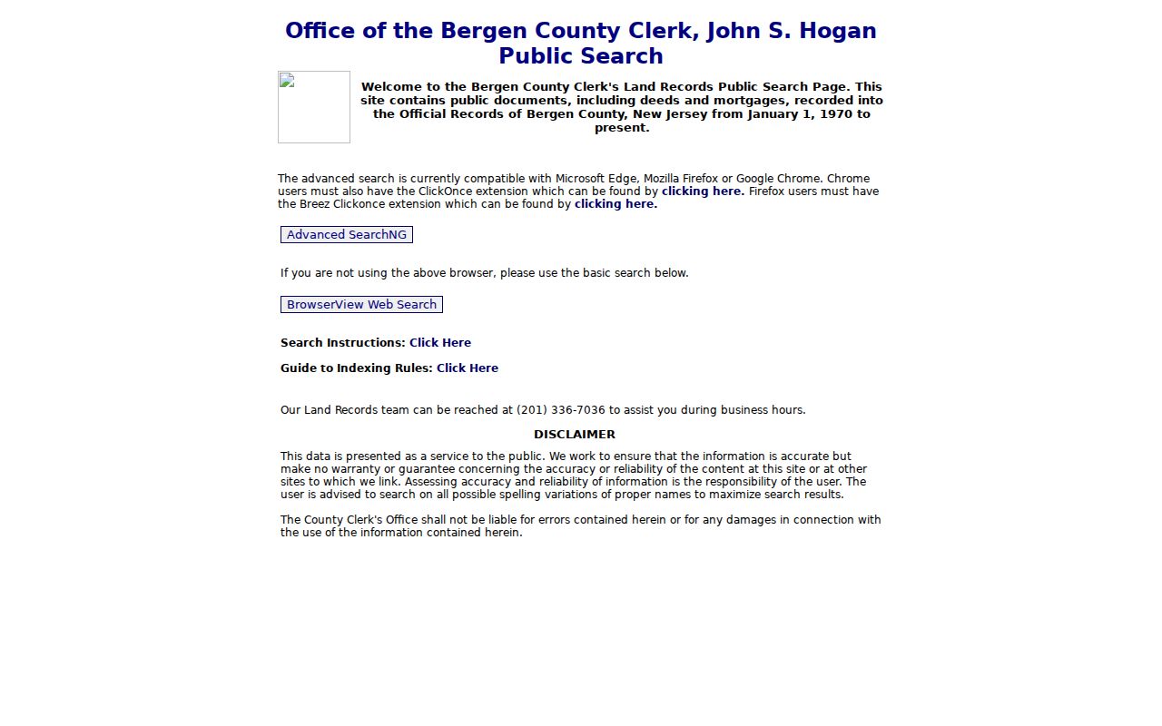
The land-record screen supports the party, date, parcel, and legal-description checks that make an address trail more precise than a simple surname match.
Mahwah BrowserView Record Review
BrowserView is the county’s public result and image interface for land records. Visible record details can include document type, instrument number, recording date, book type, book/page, page count, consideration, case or parcel data, legal-description lines, town, and indexed parties. Its interface can also show a replacement or correction marker. Check those details before treating a result as the earlier link in a Mahwah address history.
Image access and printing may have separate login, payment, or copy procedures. No fixed image fee was exposed in the reviewed public shell, so confirm the live system before making a cost claim. A recorded instrument is a legal-property record. The names in it should remain tied to their roles and dates rather than being written as a blanket list of previous residents.
The Bergen BrowserView interface is the official detail and image path.
The result view is where an instrument date, party role, correction flag, and legal-description detail can be preserved for the next step in the chain.
Mahwah Maysenger Road Evidence
The Mahwah historical-sites survey provides a concrete local example of an address trail. Its property entries can include street address, block and lot, owner or transferee, event or deed date, deed-book/page reference, and historical narrative notes. The survey records 35 Maysenger Road as block 104, lots 48–49, with a June 24, 1909 transfer from the Mahwah Company to Francis Hayward. It records 38 Maysenger Road as block 104, lots 7–8, with a May 8, 1912 transfer to Lois MacCausland and Bergen deed book 815, page 394.
Those examples teach the method, not the present status of either address. The local survey provides a starting citation. The county deed books, dated maps, directories, and newspapers can then test a sequence of ownership, building context, and historical household evidence. A history should distinguish each finding rather than turn a named transferee into an unqualified occupant.
Mahwah Maps and Census Pairing
Mahwah’s 1917 and 1925 Sanborn map sets help place a structure in time. They can show building footprints, street names, rail or industrial context, construction materials, and use labels. First identify the relevant sheet and map year, then transcribe the street label as printed. Compare the footprint with current parcel orientation only after recording the map’s date. A map is location context. It does not identify every person who lived in the building.
Next pair the address trail with a historical household source. The New Jersey State Archives lists state census coverage from 1855 through 1915 and has other genealogy, land, probate, court, newspaper, naturalization, and name-change series with their own limits. Older municipal boundaries may differ, so a Mahwah search can require checking a parent or predecessor township. Dated newspapers can add event context, but the underlying image should be checked when the result matters.
Note: A strong historical conclusion needs a stable parcel or feature, a dated record, and a separately sourced name or household detail.
Mahwah Past Residents in Collections
Collections supply the household layer that deeds cannot. Mahwah Public Library has limited local-history material, selected high-school yearbooks, and a referral to the Mahwah Museum. Ridgewood Public Library’s Bolger Heritage Center and the Genealogical Society of Bergen County offer regional family files, newspapers, maps, city directories, and a limited lookup service. Bergen County Historical Society lists dated telephone directories and property-history resources. Its volumes have varying coverage and are not a confirmed Mahwah-only directory run.
Use a title, publication year, town, address, page, and source type for every directory or telephone-book result. The known GSBC directory work covers Ridgewood and nearby towns from 1926 through 1973, not a confirmed Mahwah run. That evidence can help trace a regional move, but its town label must remain visible. The Mahwah city directories collection page identifies the archival access paths in more detail.
The Bolger Heritage Center and GSBC library is a regional source for those dated materials.
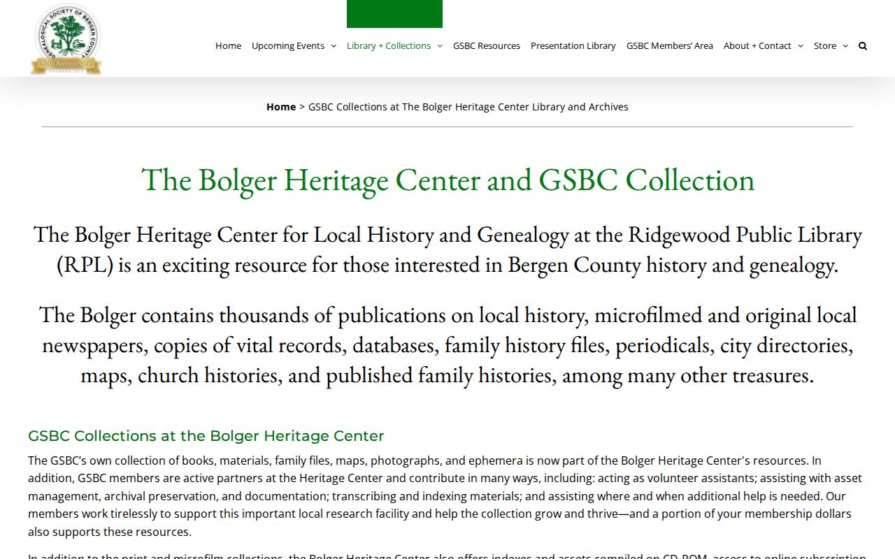
The Bolger resource broadens a property trail into family, newspaper, map, and directory research while keeping Mahwah and neighboring-town evidence distinct.
Mahwah Previous Residents Limits
Previous residents are not a single category in the records. An owner, a grantor, a grantee, a tenant or other occupant, a business at the address, a relative, and a historical subject can all appear in different sources. The responsible record trail says which relationship the source documents and when. It also preserves correction flags, protected-address rules, and gaps in online coverage. A missing name can mean the relevant volume, image, or older deed is held elsewhere.
A careful chain works backward from an address and forward from a dated record, then stops where the evidence stops. That method gives past residents research its value without claiming more than the Mahwah sources can prove.