
Tracing a Mahwah Street Directory
A Mahwah street directory begins with the exact number and the source’s street spelling. Resolve the address before looking for a name. The township assessor route can supply assessment or parcel context through the clerk and OPRA process. The Bergen County parcel viewer gives map orientation. The county deed index identifies recorded parties and instruments. Mahwah’s election page then helps place an address range and parity in a district. Historical maps, directories, yearbooks, and newspapers add dated occupancy or use evidence.
Each stop answers a different question. An owner mailing address can differ from the situs, the physical property location. A deed party can differ from a person who occupied the address. A directory entry can be a subscriber or historical household. By-street research is strongest when a citation retains the address, parcel details, date, and the source’s own label.
- Confirm the full Mahwah street address and preserve any older spelling.
- Ask the assessor or clerk for the block, lot, qualifier, and assessment record needed for the question.
- Use the county GIS viewer for parcel orientation, then verify the identifier in the underlying record.
- Search Bergen land records by Town, party, date, instrument, lot/block, or legal-description fields.
- Use district ranges and dated historical sources only for the narrower relationship each one documents.
Mahwah Street Address Verification
Mahwah’s tax-map PDFs are orientation tools, not a survey or a public owner-name directory. The assessor page says that property-information requests are routed through the municipal clerk and OPRA because of Daniel’s Law. That request route is especially important where a street search needs parcel facts rather than a name-only result. State the exact record, date range, and format sought. A focused request for a zoning-verification certificate, a planning list, or an assessment detail is more useful than a request for someone’s entire history.
Use the Mahwah OPRA form and municipal forms page to reach the clerk route. The New Jersey municipality lookup is also useful when a postal city or ZIP needs checking against the township boundary. The result should still be paired with the street number and source date before it becomes part of a Mahwah street directory trail.
Mahwah Assessor Fields by Address
The official assessor page provides contact information and duties, not a public owner-name search. The township’s zoning-verification process shows the kinds of address data that can matter: block, lot, qualifier, owner, property location, taxes paid, and certification details. These are record fields, not a guarantee that every field will be available for every request. Keep property location and owner mailing address separate whenever the record supplies both.
| Mahwah request field | Street-directory use |
|---|---|
| Block and lot | Connects an address to a municipal parcel reference. |
| Qualifier | Distinguishes a subunit or related parcel record where used. |
| Property location | Records the situs address, not necessarily a mailing contact. |
| Owner and mailing address | Shows a recorded ownership or mailing relationship when supplied. |
| Certification or tax field | Identifies the kind and date of the municipal record requested. |
The Mahwah Tax Assessor page is the local start for those questions.
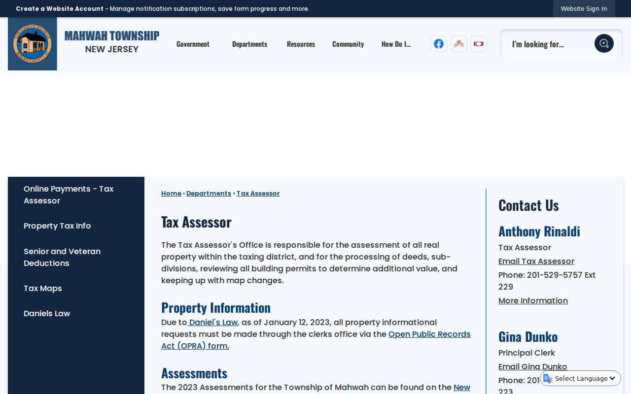
The assessor page helps a street search move toward the right municipal request instead of suggesting an owner-name interface that research did not locate.
Mahwah Deed Index by Street
The Bergen County Land Records Search is the deed-chain route behind a Mahwah street directory. The public online notice covers deeds and mortgages recorded from January 1, 1970 forward. Earlier books require a counter, archival, or digitized-microfilm route. Start with Town set to Mahwah and add a party name, document type, date range, instrument number, book/page, lot/block, case or parcel, legal-description line, map, or consideration field where the facts justify it.
BrowserView result and image controls can show document type, instrument number, recording date, book/page, consideration, parcel-related fields, town, and parties. Check any visible R replacement or C correction marker. The search is public, but image access, printing, copies, or payment can follow different procedures. The index says what was recorded. The underlying document and party role determine what can responsibly be said about the address.
Open the Bergen County land-record index for the basic and advanced search paths.
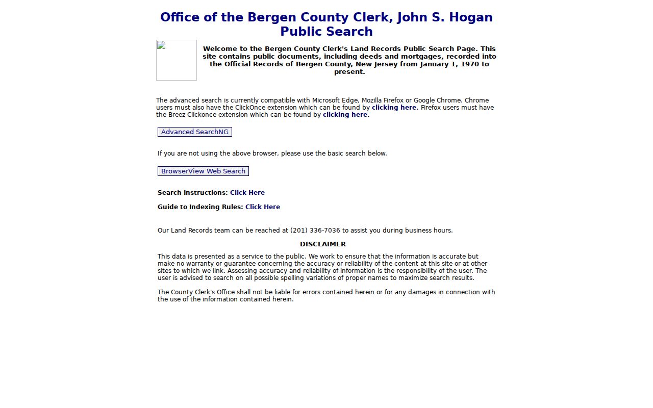
The county search form supports several street-linked identifiers, which is why block and lot details are worth recording before a name search.
Mahwah Street Record Layers
Records keyed to an address vary by date and purpose. A coherent Mahwah street directory records which layer supplied each observation. The map tells where a parcel lies. The assessor route deals with assessment and local property information. The deed index records legal instruments. The planning list has a specific application purpose. The election page is a geographic crosswalk. Historical collections provide a dated image of a household or use.
| Address record | What it can show | Access | Street use |
|---|---|---|---|
| Assessor and tax maps | Block, lot, property context, and possible mailing field | Assessor or clerk/OPRA route | Establish parcel identifiers |
| Bergen GIS viewer | Parcel geometry and visible map context | Public map application | Orient the address and nearby parcels |
| Deeds and mortgages | Party, role, date, legal description, and instrument data | Public index from 1970, copies vary | Trace recorded transactions |
| Planning 200-foot list | Certified affected owner list for one application | Assessor request, $10 | Create a dated planning snapshot |
| Election district page | Street, range, parity, district, and polling location | Municipal page | Resolve address splits |
| Historical material | Dated address, household, map, or event context | Library, society, or archive | Study older occupants and uses |
Mahwah Street Names and Districts
Street names deserve their own Mahwah street directory note. The township election information documents current and former label pairs: Adams Court and Jefferson Street, Fike Road and Settlers Road, and Franklin Place and Sustack Place. The research did not locate official rename years. Preserve the name printed on the original deed, map, directory, or election source, then add the current label as a separate cross-reference only when the township source supports it.
The election page also uses address ranges and even/odd parity to assign streets across Mahwah’s fourteen districts. A long street may split at a number range or side of the road. This makes the page useful for address normalization and polling-district orientation, but it does not publish a voter-name roster. A street name without a number is often too broad for this type of local check.
Mahwah 200-Foot Street Snapshot
When a Planning Board application exists, Mahwah’s certified 200-foot owner list is a focused way to study the nearby record context. The official application says to obtain the list through the assessor, pay a $10 township fee, and allow the assessor to forward it within seven days. The list is tied to the application, its date, and the township’s planning purpose. It should not be treated as a full block roster or a list of everyone who lived there.
A parcel alert can add a different, prospective layer. Bergen County Property Alert can match a party name or municipality, block, and lot after verification. Official material says verification usually takes five to seven business days and warns that the service does not prevent fraud. It is a monitoring tool, not a substitute for inspecting the recorded instrument and its correction status.
Note: Keep the planning application number and date with any certified 200-foot list so its scope remains clear.
Mahwah Street History Sources
A deed alone rarely identifies a historical household. Pair the address with telephone directories, yearbooks, newspaper indexes, Sanborn sheets, and the Mahwah historical-sites survey when the dates overlap. The survey contains address, block, lot, deed-book/page, transfer date, and historical-note fields. It records 1909 and 1912 Maysenger Road transfers, which show how a local survey can bridge a street address to a county deed citation.
For a time sequence, find the map year and sheet, transcribe the old street label, compare the physical footprint with current parcel orientation, and then check deeds or a dated directory. A Sanborn map can establish a building or use on its map date. It does not establish that every person associated with the address lived there. The historical collection details belong on the Mahwah city directories page, rather than in a modern street search.
- Parcel
- A defined land unit that can be tied to a block, lot, map, or legal description.
- Situs address
- The physical property location, which can differ from the owner’s mailing address.
- Plat
- A recorded map or plan that depicts subdivision or parcel information.
- Criss-cross directory
- A reverse address arrangement useful for dated household research.
Mahwah Street Directory Limits
A Mahwah street directory cannot turn a list of records into a complete, current account of every household. Public sources may show a recorded party, property relationship, district assignment, historical subscriber, or organizational contact. They may omit a current person, use a protected substitute address, or reflect a prior date. The township resource directory is a list of public contacts, not an association membership roster. A map is not a survey, and a result with a matching surname is not identity confirmation.
Use the source’s correction process, original image, or custodian contact when a record seems wrong. The most reliable street result keeps owner, occupant, mailing address, historical household, and date in separate columns rather than collapsing them into one label.